Tuesday, September 5, 2017

North Stonington Real Estate Market Report September 2017


The North Stonington Real Estate Market Report is a monthly statement of the median sales price for homes, the number of sales in North Stonington, the average price per square foot for homes, the number of homes for sale, and the average listing price of North Stonington homes for sale


According to Wikipedia, the rapid residential growth of North Stonington led to the development in 1963 of planning and zoning restrictions and guidelines as North Stoniongton citizens became increasingly anxious about the potential for overdevelopment destroying the rural nature of the town. Population growth in the past thirty years has continued, but at nowhere near the break-neck pace of the 1950s and 1960s; today, the main challenge to preserving North Stonington's historically rural character comes less from housing subdivisions and more from big commercial development ideas. North Stonington, because of its access to I-95, rural charm, and after 1992 its proximity to the Mashantucket casino in the adjacent town of Ledyard, has attracted numerous would-be developers who have advanced as-yet unsuccessful entertainment park schemes for the town.

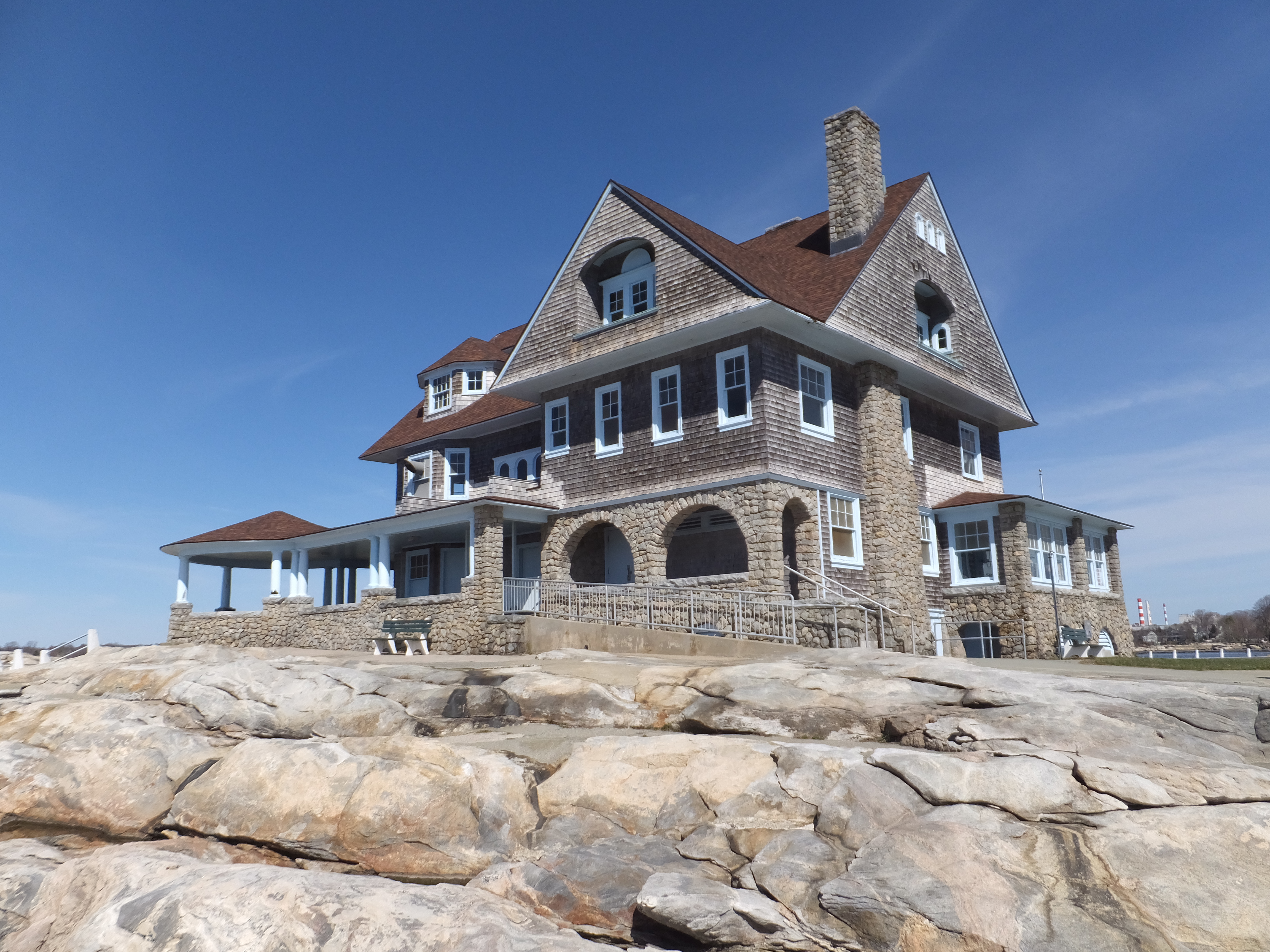
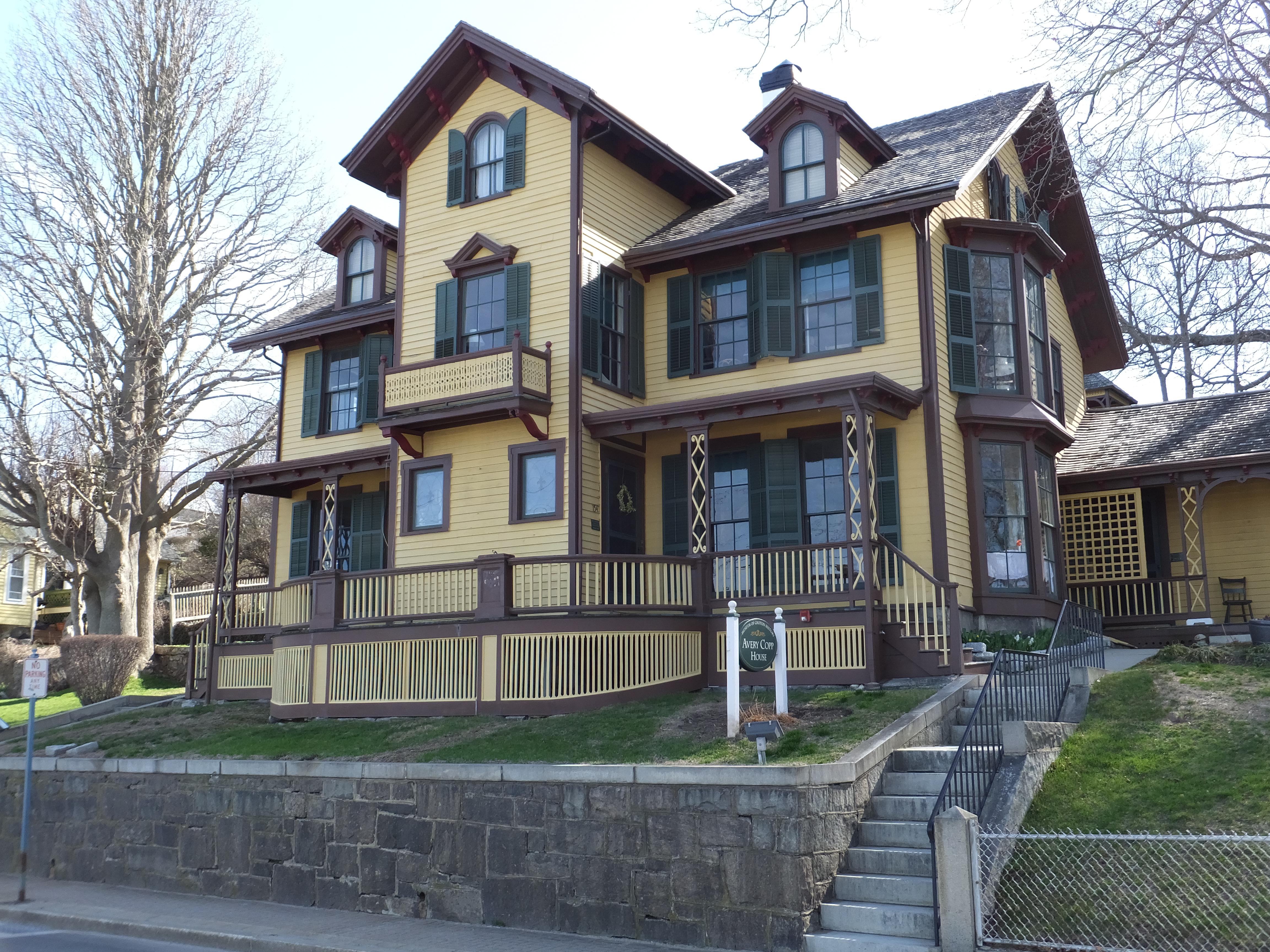
North Stonington residents and visitors cherish the town for its beauty and historic value. In 1983 the village was added to the National Register of Historic Places, based on 58 existing homes and other buildings from the late 18th and early 19th centuries within the North Stonington environs.


Click here for North Stonington Real Estate Market Report


Sunday, September 3, 2017

Masons Island in Mystic CT


Masons Island is located at the mouth of the Mystic River and faces Fishers Island Sound to the south. Information about homes for sale on Masons Island and Masons Island properties for sale can be obtained from the Bridget Morrissey Team by calling or texting (860) 857-5165.

For the nautical enthusiast you can find Masons Island on your NOAA Chart at

41o19.33'N x 71o58.02'W.

Most of the homes on Masons Island are almost 1/2 an acre, around 2,000 sq. ft and have three bedrooms. The Mystic drawbridge is visible from the north side of the island and the restaurants of Stonington Borough and Westerly are within a fifteen minute drive.


Saturday, September 2, 2017

Groton Homes Near EB


General Dynamics Electric Boat in Groton CT announced plans to hire an additional 600 new workers this year. Congressman Joe Courtney said “EB’s strong hiring outlook will provide a powerful boost to our eastern Connecticut economy."Groton homes for saleIf you are looking for homes for sale or rent near Electric Boat in Groton then call the Bridget Morrissey Team.


Bridget Morrissey and her team will assist you in finding the home that is just right for you!


Bridget Morrissey Team
Email: bridgetamorrissey@gmail.com
Cell / Text: (860) 857-5165
Fax: (860) 928-0230


Tuesday, August 29, 2017

Charlestown RI Real Estate Market Report September 2017 from Bridget Morrissey


The Charlestown Real Estate Market Report is a monthly statement of the median sales price for homes, the number of sales, the average price per square foot for homes, the number of homes for sale, and the average listing price of Charlestown homes for sale.

Number of sold homes in Charlestown

Charlestown is named after King Charles II, and was incorporated in 1738. The area was formerly part of the town of Westerly. Charlestown was in turn divided and the part north of the Pawcatuck River became the town of Richmond in 1747.

Charlestown average property price

Burlingame State Park and Campground is located inside the town of Charlestown. The campground is 3,100 acres of rocky woodland that surrounds Watchaug Pond in Charlestown. Park activities include 755 campsites, fishing, swimming, picnicking, boating and hiking. The area north of Buckeye Brook Road, abutting the Pawcatuck River, is primarily a hunting area.


Charlestown – number of properties

Charlestown average price per square foot


Sunday, August 27, 2017

Westerly Real Estate Market Report August 2017 from Bridget Morrissey


The Westerly Real Estate Market Report is a monthly statement of the median sales price for homes, the number of sales, the average price per square foot for homes, the number of homes for sale, and the average listing price of Westerly homes for sale.


According to Wikipedia, Westerly becomes a large tourist attraction during the summer months during which the population nearly doubles.

Number of sold homes in 02891, Westerly
From east to west, well-known beaches include Weekapaug Beach, Westerly Town Beach, Misquamicut State Beach, East Beach and Watch Hill Beach.


02891, Westerly average property price
Weekapaug is a Native American word meaning "end of pond". Niantics, Pequots, and Narrangansetts lived in this area before early settlers arrived.


02891, Westerly – number of properties
Misquamicut Beach is a three-mile length of beach that extends westward from Weekapaug to Watch Hill and separates Winnapaug Pond from the Atlantic Ocean.


02891, Westerly average price per square foot

Watch Hill is an affluent coastal village in the town of Westerly, Rhode Island. It sits at the most-southwestern point in all of Rhode Island, excluding Block Island. Watch Hill came to prominence in the late 19th and early 20th century as an exclusive summer resort, with wealthy families building sprawling Victorian-style "cottages" along the peninsula.

Watch Hill is characterized by the New York Times as a community "with a strong sense of privacy and of discreetly used wealth", in contrast with "the overpowering castles of the very rich" in nearby Newport.

Today, Watch Hill is best known as the backdrop for the Ocean House, the only Forbes Five-Star and AAA Five Diamond Hotel in Rhode Island.


Friday, August 25, 2017

Ledyard Real Estate Market Report August 2017 from Bridget Morrissey


The Ledyard Real Estate Market Report is a monthly statement of the median sales price for homes, the number of sales, the average price per square foot for homes, the number of homes for sale, and the average listing price of Ledyard homes for sale.

According to Wikipedia,the principal communities of Ledyard are Ledyard Center (also known as Ledyard Village) and the Gales Ferry section (including Christy Hill Estates, Devonshire Estates, Ferry View Heights, Glenwoods, Pheasant Run, Sherwood Forest, and Woodridge Estates).

Other minor communities and geographic areas are Aljen Heights, Barrett Park, Colonial Manor, Cranwood Homestead, Highlands, Lakeside, Lantern Hill, Long Pond, Parsonage Hill Manor, Presidential Estates, Quaker Town, and Stonehenge.

The town also contains the Mashantucket Pequot Reservation, in the northeastern corner of the town.

Ledyard Center is located at the crossroads of 2 state highways: routes 117 and 214. It is home to Ledyard Town Hall and is one of the main commercial areas in the town. Every year in September, the fairgrounds host the popular Ledyard Fair, bringing families to the area for the weekend to enjoy carnival rides, entertainment and agricultural competitions.

Gales Ferry is centered around Route 12 and is one of the main commercial corridors in the town. The area is largely residential and contains 2 national register historic districts, a post office and library. It does offer typical neighborhood commercial services.

Each year in June, the Yale-Harvard regatta brings rowing teams and spectators to the riverfront and life to each school’s boathouse, both of which are located in the village.

CLICK HERE FOR THE LEDYARD REAL ESTATE REPORT